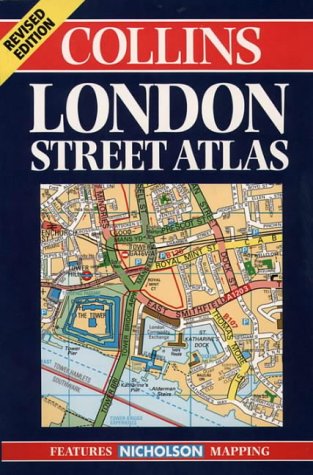
London Street Atlas 1999
By Unknown Author.
Description
1:20,000, 3.17 inches to 1 mile. 6.4 inches to 1 mile for central area (1:10,000) This handy little atlas features the high quality Bartholomew digital database mapping. A huge amount of detail is contained within the mapping without compromising the clarity. Central London is mapped at a larger scale. MAIN FEATURES * Extremely clear, attractive, full colour mapping * Enlarged central area * Full index to place and street names * Theatres and cinemas map, plus shopping map INCLUDES * Colour coded primary routes * Street markets and pedestrian streets * Borough boundaries plus postal distr...
ISBN(s)
0004488288, 9780004488288